Ley lines are the alignments people draw between ancient sites — stone circles, old churches, burial mounds, holy wells — and the claim that those alignments aren't accidents but trace something real running through the land. Search interest splits cleanly: some people want the tidy historical definition, others want to know where the lines run near them and how to trace them on a map. This piece covers both — what ley lines actually are, the history of the idea, where the major alignments are said to run in North America and elsewhere, how to find them on Google Earth, and why the whole subject sits in the Earth Origins layer of the map.
Ley lines at a glance: what they are
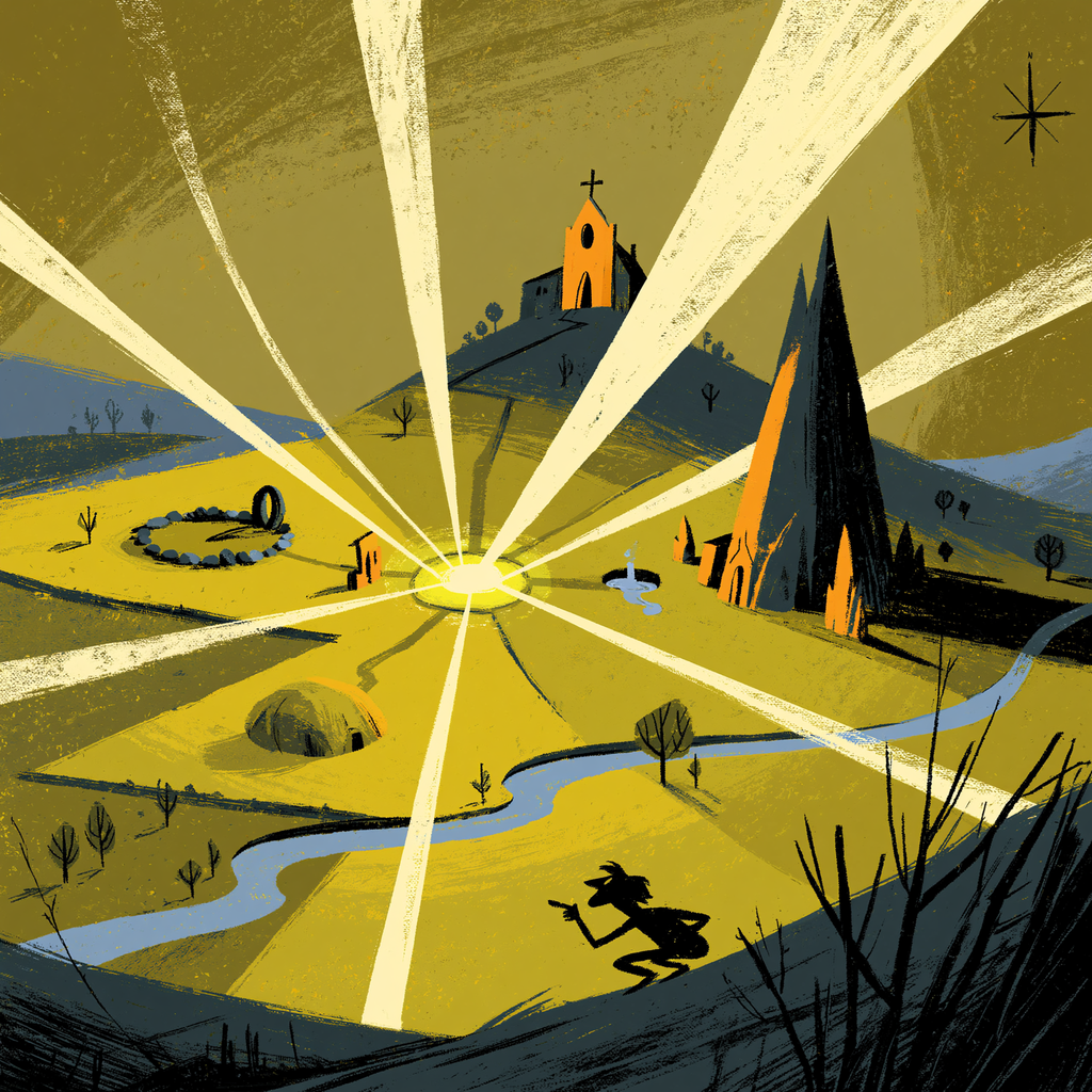
At the simplest level, a ley line is a straight line drawn on a map that connects multiple sites of historical, spiritual, or geographic significance. The original, modest version of the idea was just that: ancient people built notable places along straight alignments, possibly as travel routes or sightlines. The expanded, modern version is bigger — that these lines mark channels of subtle earth energy, that the sites were placed deliberately on them because the builders could sense that energy, and that the lines form a planetary grid connecting sacred places across continents.
It's worth holding those two versions apart from the start, because they get blurred constantly. One is a question about archaeology and human behavior. The other is a metaphysical claim about the Earth as an energetic body. You can find the first interesting without committing to the second, and the most grounded way into the topic is to keep the seam between them visible.
The history of ley lines
The term was coined in 1921 by Alfred Watkins, an English amateur archaeologist and photographer, who noticed while looking at a map of the Herefordshire countryside that a striking number of ancient landmarks — standing stones, hillforts, churches built on older pagan sites, moats, and beacon hills — appeared to fall along straight lines. He called them "leys," after the Old English word that survives in place-names, and laid the idea out in his 1925 book The Old Straight Track. Watkins's own theory was earthbound and practical: he thought the leys were prehistoric trackways, trade and travel routes surveyed in straight lines across the landscape, with the landmarks serving as waypoints.
The mystical layer came later. By the 1960s, the counterculture had picked up the idea and fused it with dowsing, earth-energy theories, and UFO lore, transforming Watkins's surveyor's lines into channels of cosmic force. Writers like John Michell tied the British leys to sacred geometry and a worldwide grid, and the modern conception of ley lines as energy conduits was born. So when people argue about whether ley lines are "real," they're often arguing past each other — the alignments Watkins documented are real lines on real maps; the energy running through them is the part that was added decades later and never demonstrated.
Where ley lines run: North American ley lines and beyond
In Britain, the most famous ley is the St Michael's alignment, said to run from the southwest coast through Glastonbury and a string of churches dedicated to St Michael and St George. Globally, the most ambitious version is the planetary grid — the claim, developed by Russian researchers and popularized in the 1970s, that the Earth's major sacred sites, from Giza to Machu Picchu to Easter Island, fall on the edges and vertices of a geometric lattice wrapping the whole planet.
For North American ley lines, the picture is looser and more contested, partly because the continent's most significant sites span Indigenous earthworks, mounds, and natural features rather than the dense network of churches Watkins worked with. Commonly cited North American alignments link places like Sedona's red-rock vortexes, the Serpent Mound in Ohio, Chaco Canyon, Mount Shasta, and Indigenous sacred mountains. Regional searches like ley lines in Missouri usually surface lines drawn through local mounds, springs, and older sacred sites — the same method applied at smaller scale. Treat any specific North American "map of the lines" with care: different sources draw them differently, which is itself a clue about how much is rigorous and how much is pattern-finding.
One quick disambiguation, because it comes up constantly: ley lines in Genshin Impact are a game mechanic, not the geographic phenomenon. The game borrowed the name for its in-world energy network. If that's what brought you here, the rest of this piece is about the real-world idea the game's writers were riffing on.
How to find ley lines on Google Earth
The most practical question people ask is how to find ley lines on Google Earth, and the method is straightforward — with one important caveat to keep in mind as you do it.
The basic process: open Google Earth, identify several significant sites in your area — ancient monuments, old churches built on older sites, notable hills, springs, standing stones, mounds — and use the path or ruler tool to draw a straight line connecting them. When three or more meaningful sites fall close to a single straight line, you've drawn a candidate ley. People extend the lines outward to see what else they cross, and look for clusters where multiple lines intersect, which the energy-grid model treats as power centers.
Step by step: switch to a flat or top-down view to reduce distortion; turn on relevant layers or import a list of local heritage sites; place markers on each candidate site; use the ruler/path tool to test straight-line connections; and note alignments where several sites sit within a tight corridor. Save your paths as a project so you can refine them.
Here's the caveat that separates careful work from self-deception. On any sufficiently dense map of old sites, you will always be able to draw straight lines through several of them — purely by chance. Statisticians and skeptics have demonstrated this clearly: scatter enough points across a region and random alignments of three, four, even five points emerge with no cause behind them. This is the central critique of ley-line hunting, and the honest enthusiast takes it seriously rather than dismissing it. The interesting question isn't "can I draw a line through some sites" — you always can — but "are these alignments more frequent, or more precise, than chance alone would produce." Holding that question while you map keeps the exercise honest, and it's genuinely more rewarding than collecting coincidences.
Ley lines, sacred sites, and earth energy
The reason the idea refuses to die isn't the geometry — it's the felt experience people report at the places the lines connect. Whatever the mechanism, certain sites do seem to affect people: the hush inside an old stone circle, the charge people describe at Sedona or Glastonbury or Serpent Mound, the consistency with which cultures separated by oceans chose strikingly similar locations for their most sacred building. The energy-grid model is one attempt to explain that pattern — that the builders were responding to something real in the land, and that the alignments are the map of it.
The grounded read holds the experience as real without granting the full cosmology. Humans are extraordinarily good at sensing place — slope, water, acoustics, sightlines, the way light falls — and ancient builders chose sites for reasons that were partly practical, partly aesthetic, and partly genuinely numinous in ways that don't require a literal energy grid to be meaningful. Whether there is a measurable field running between these places remains unproven; that people reliably feel something at them is not in serious doubt. The map's interest is in that gap — the space between a real, cross-cultural human response to certain places and the various stories told to explain it.
How ley lines fit the awakening map
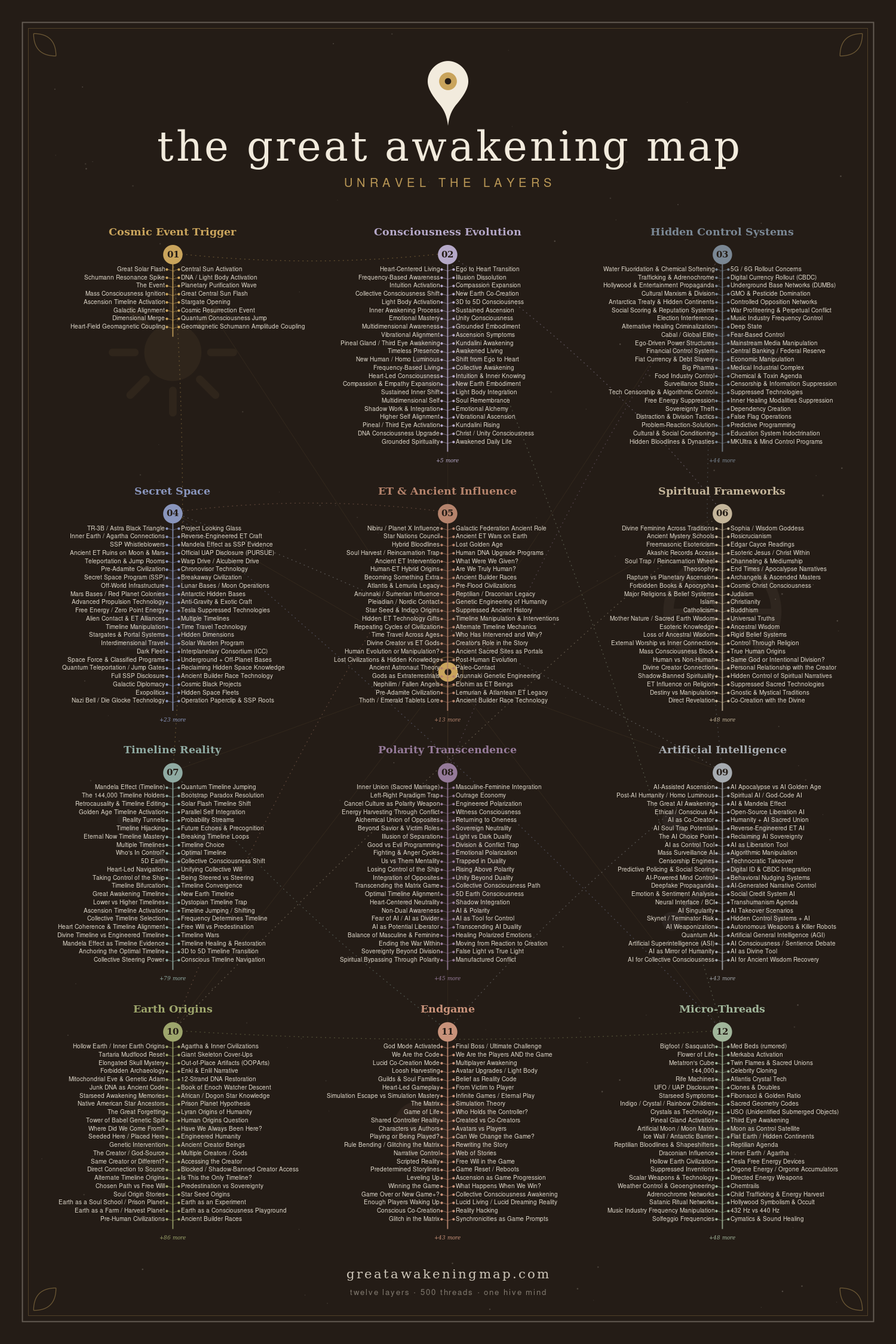
Ley lines sit in Layer 10 of the map — Earth Origins — because they belong to the question of whether the planet itself is more than inert rock: whether the Earth has a structure, a body, even a kind of awareness that the oldest cultures built around and modern culture forgot how to read. The layer holds the broader claim that the awakening is partly a re-remembering of a relationship with the living planet, and ley lines are one of the most tangible artifacts of that older relationship — a map our ancestors apparently kept and we're trying to reconstruct.
Read alongside the Consciousness Evolution layer, the picture is less about whether a specific line carries a specific current and more about a shift in how people relate to the ground under them — from a surface to be used toward a body to be in relationship with. That reorientation is the same one running under Gaia consciousness and the renewed interest in Indigenous land-knowledge. Ley lines are a doorway into it: an invitation to look at the landscape as something patterned and meaningful rather than blank, while keeping the discernment to tell a real alignment from a comforting coincidence.
So the next time you open Google Earth and start drawing lines between the old places near you, you'll have the full picture: the historical idea Alfred Watkins actually proposed, the energy-grid story that was layered on later, the North American and worldwide alignments people trace, the method for finding them yourself — and the statistical caution that keeps the exercise honest. Draw the lines. Visit the sites. Notice what you feel standing in them. Just hold the difference between a pattern the land is showing you and a pattern you're drawing onto it. Layer 10 is the invitation to take the planet seriously as something patterned and alive; discernment is what keeps that invitation from collapsing into wishful thinking.